
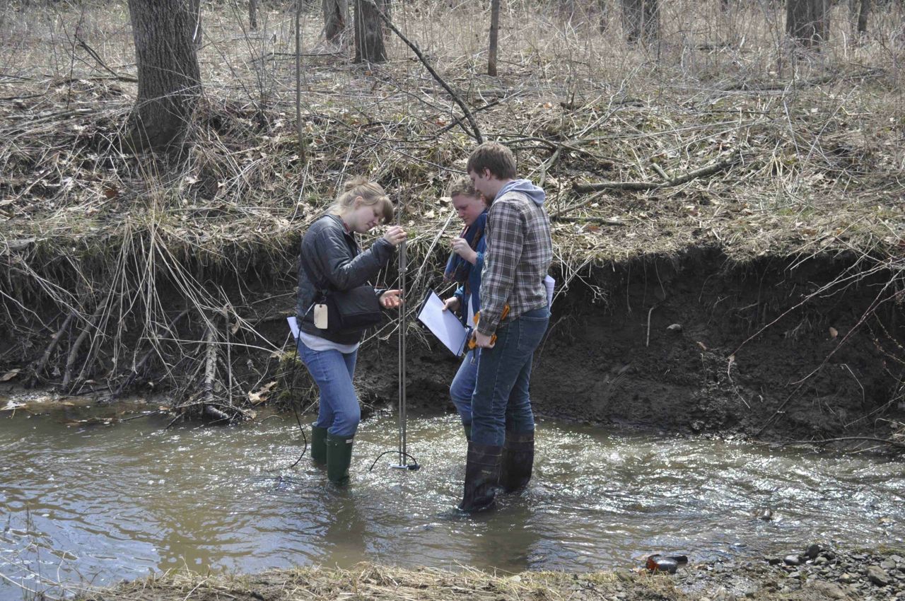
The group at Fern Valley. Gaging Wilkin Run and measuring water levels in wells.
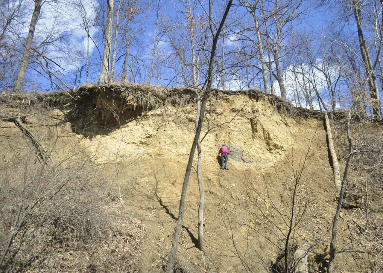
Leo examining the Ice Contact stratified drift of the terminal moraine that in part lies across Fern Valley. This deposit records the Laurentide’s ice sheet advance into the proglacial Odell Lake (note the gray lacustrine clays and silts to Leo’s left). The exposure is capped with loess – the parent material of the soils here.

The Well installed in the middle of the Run indicates whether the stream is gaining or losing.

Describing the stratigraphy along the Little Killbuck Valley – this is a delta – topsets (note the channel fills at the top) and foresets (muddy foresets because the local bedrock is weathered shale and there was some rain falling) – the bottomsets are shown below.
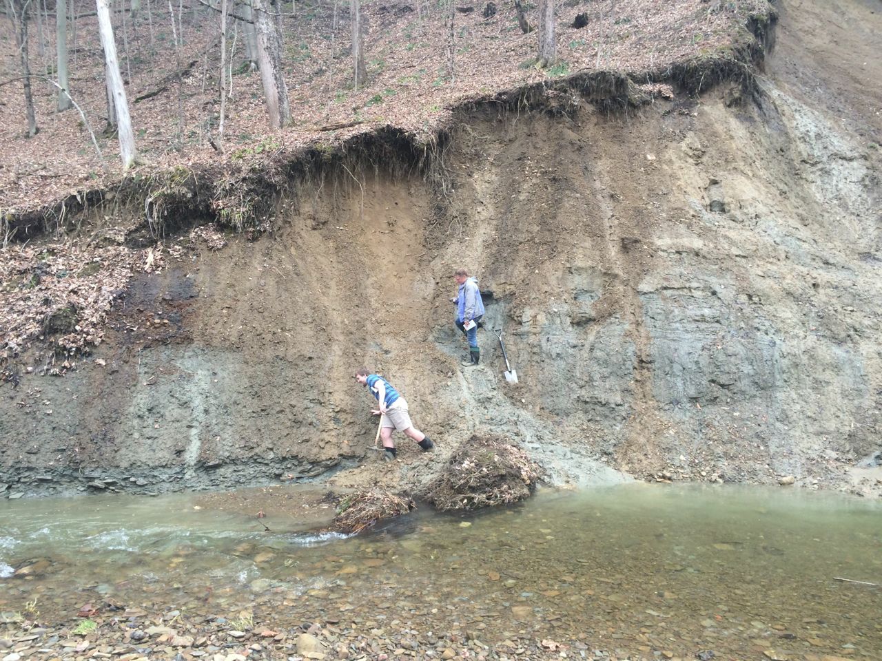
The bottomset beds – gray silts to the right. The modern mudflow fan Jim inavigates on his way to the colluvium that lies above the bedrock contact.
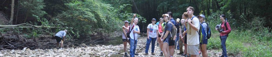
 The Archaeology team measures the velocity profile at Fern Valley.
Monday we will be working in the Wooster Wellfield. This is a buried valley once again and we will be constructing a potentiometric map from water levels. This is a confined aquifer and is remarkable as it yields over 5 million gallons of water each day. However, there are several challenges that the community faces in terms of water quality.