It is the dry season but even so – we were a bit puzzled why all but one well was dry.
We took a quick march to the lake outlet to recover the transducer.
It is the dry season but even so – we were a bit puzzled why all but one well was dry.
We took a quick march to the lake outlet to recover the transducer.
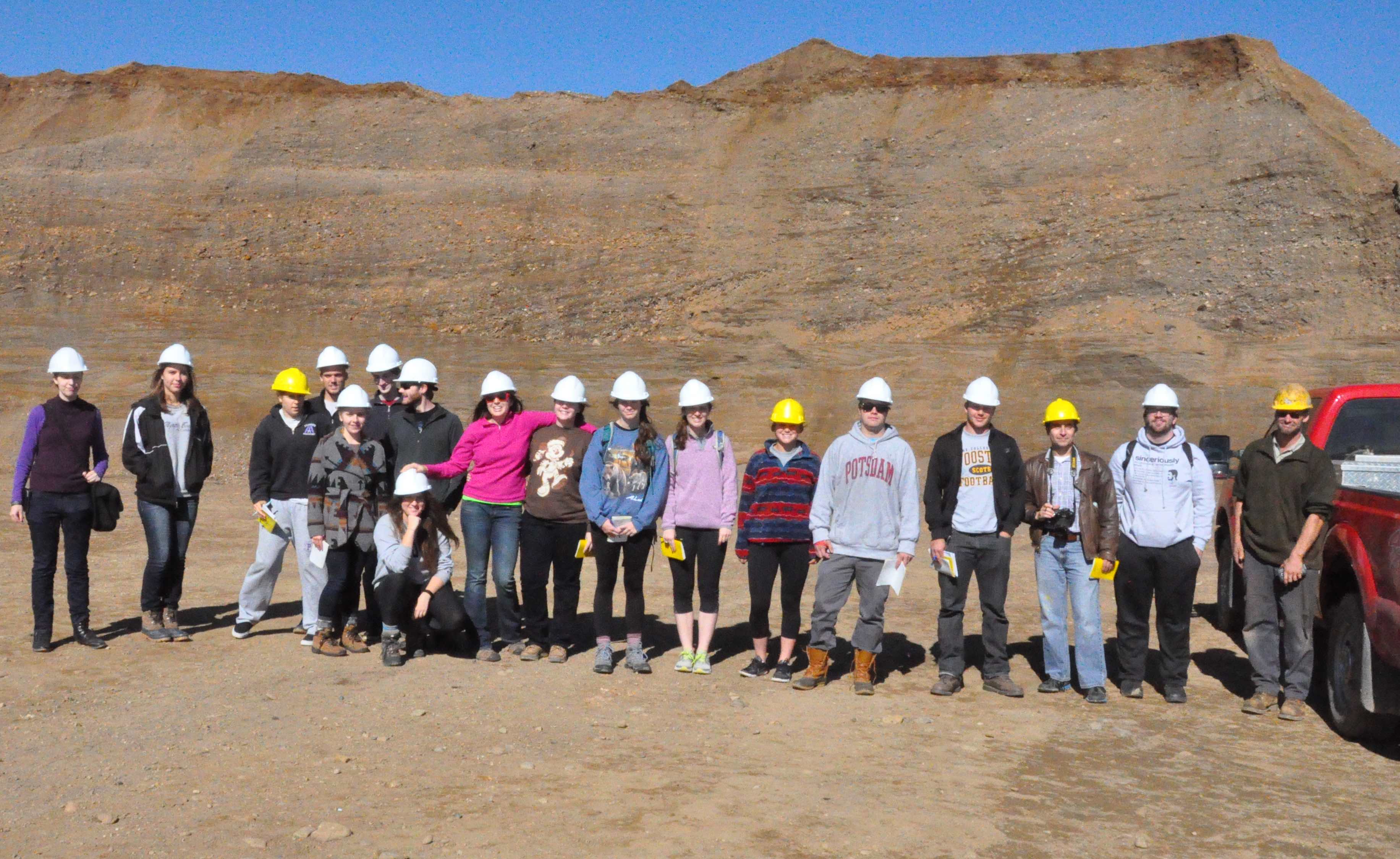
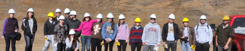
The high wall of Holmesville Supply sand and gravel gave us a look at what the Wooster Aquifer is made – a sand and gravel Ice Age braided stream (special thanks to Jeremiah for his tour of the mining).
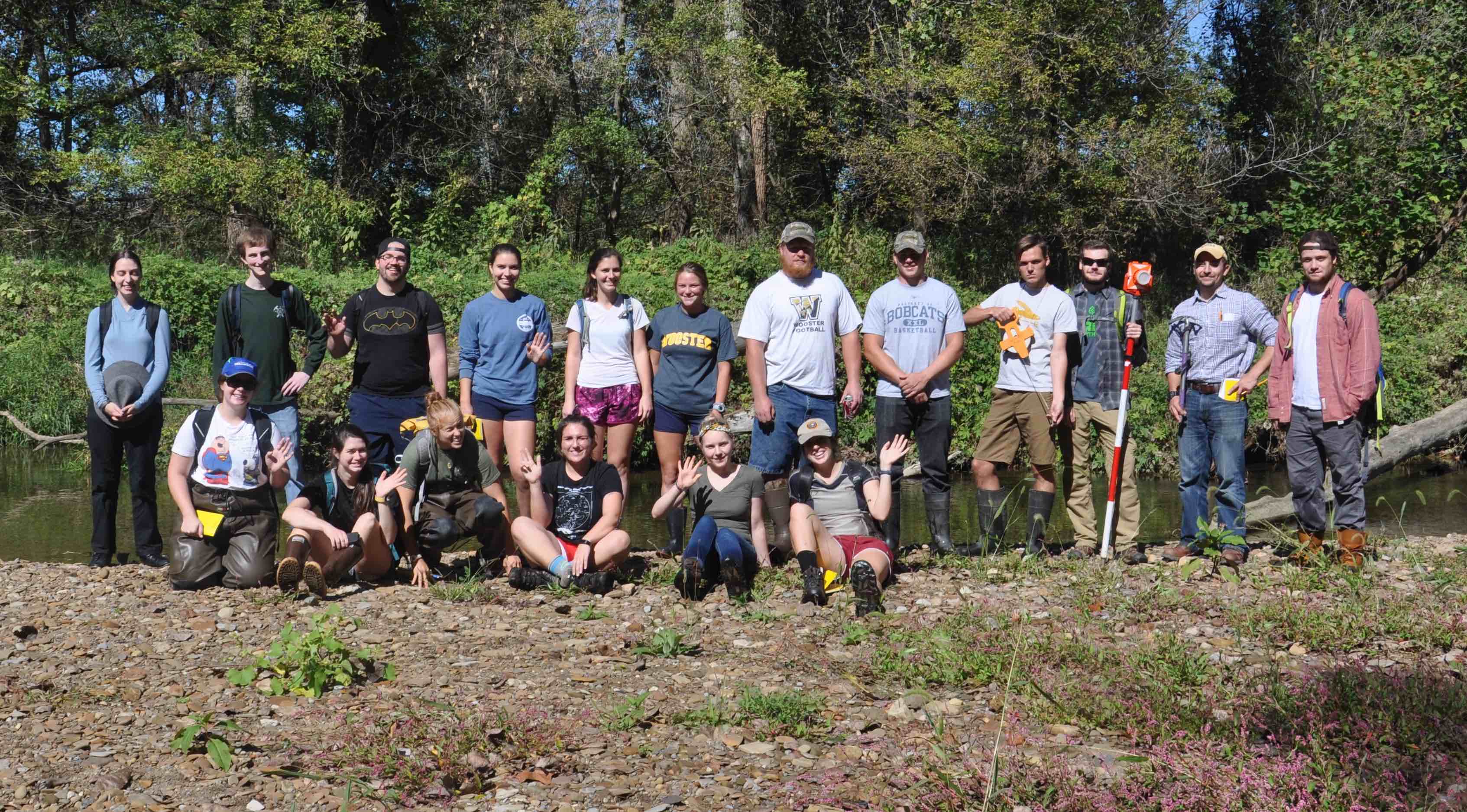
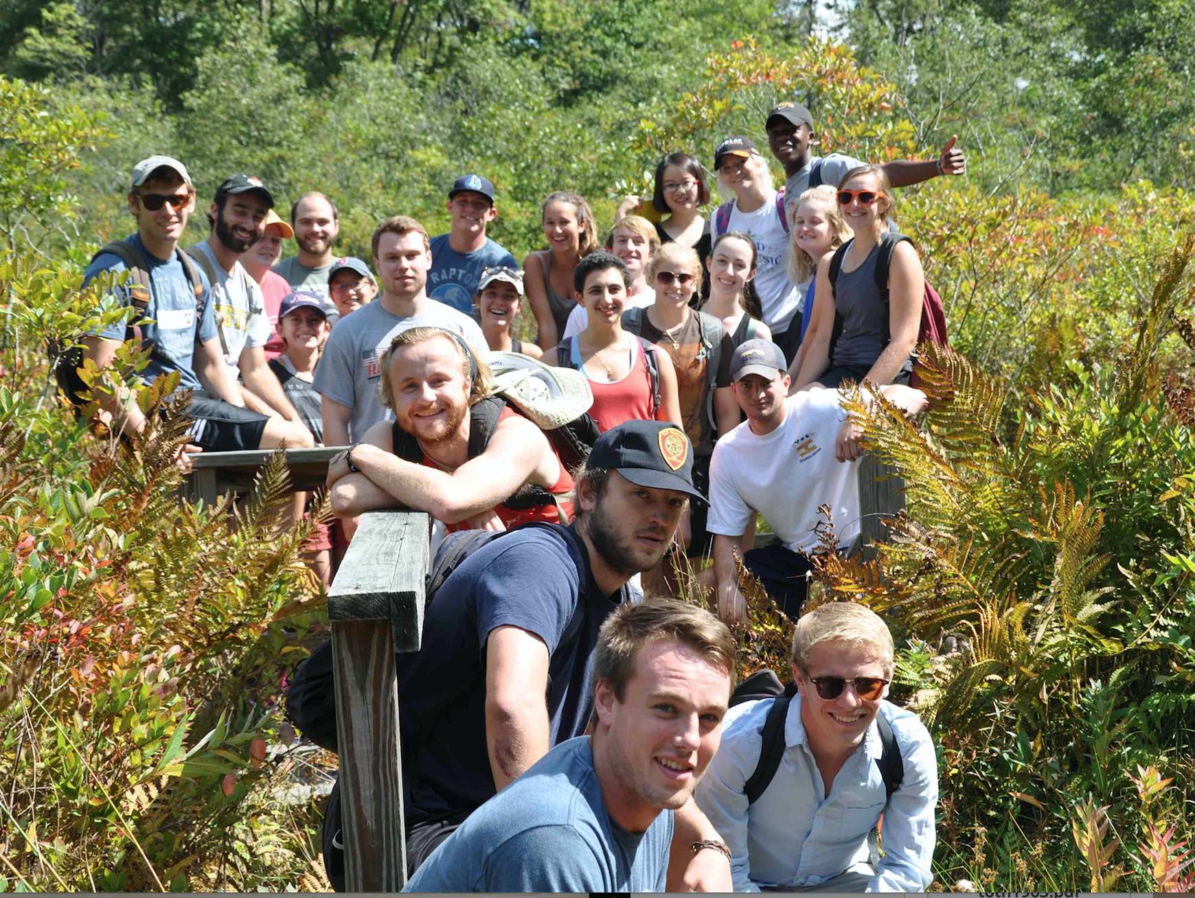
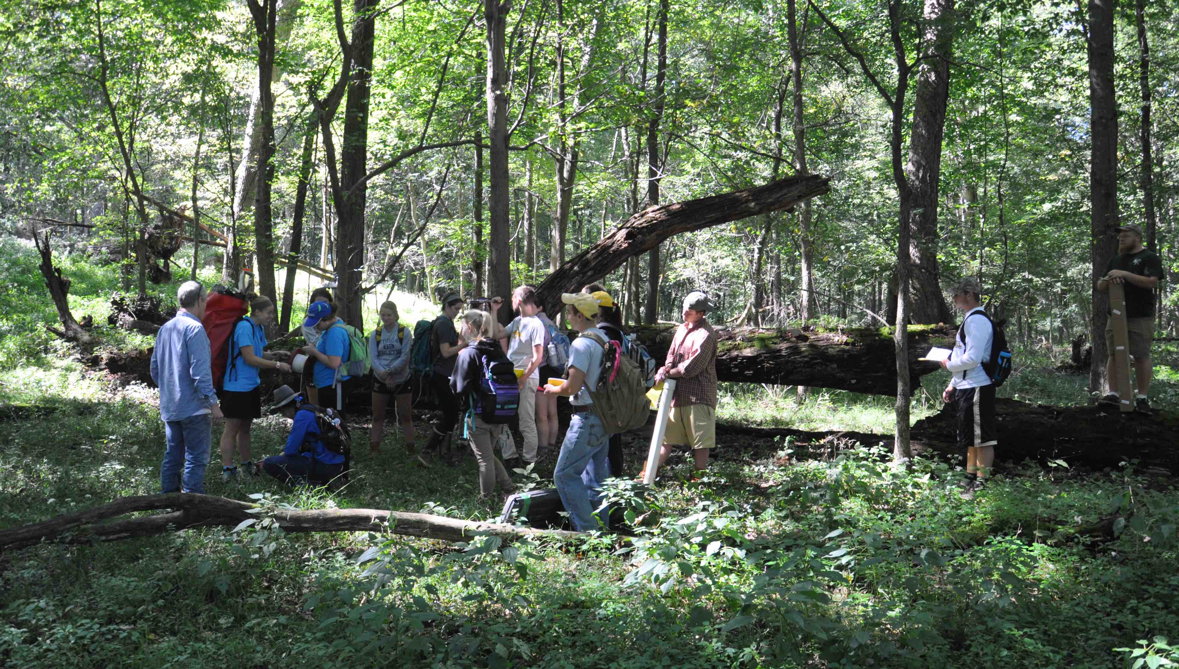
Geomorphology (Geology 300) has been taking advantage of the good weather this Fall traveling in the area. Above the full class stands on a point bar of the Apple Creek. Waves go out to Brian Merritt who experienced an injury earlier in the semester, we wish his a speedy recovery and sure could use his expertise in hydrology, carrying heavy equipment and doing much of the work (see below).
Brian augers a hole in the Kame at Browns Lake, in the background is a 350 year old white oak and we hypothesize that this area may contain old soils that have never seen the plow.
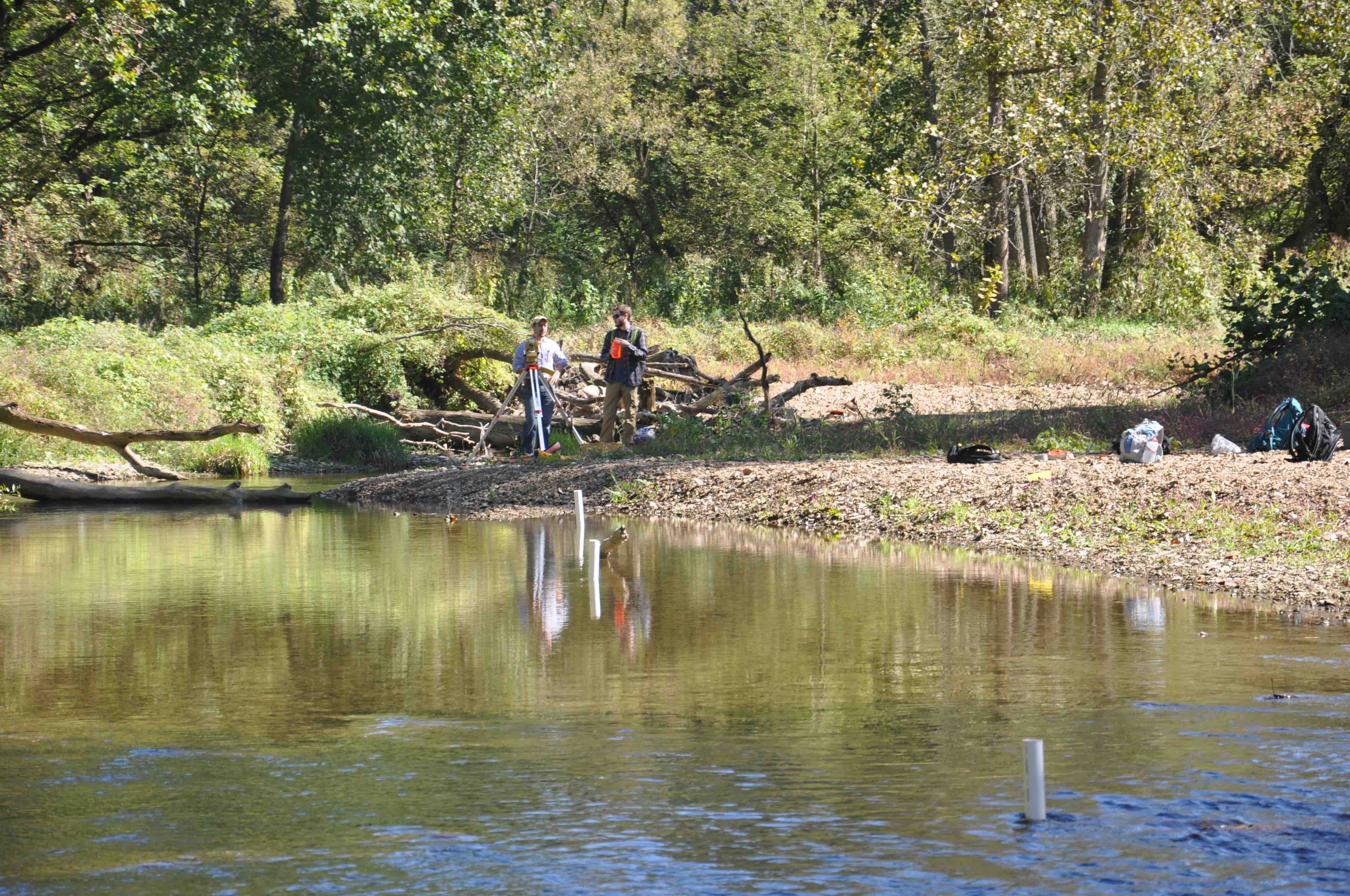
Surveying in the discharge transects and well locations.
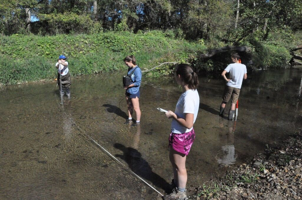
The gaging team sets up another transect.
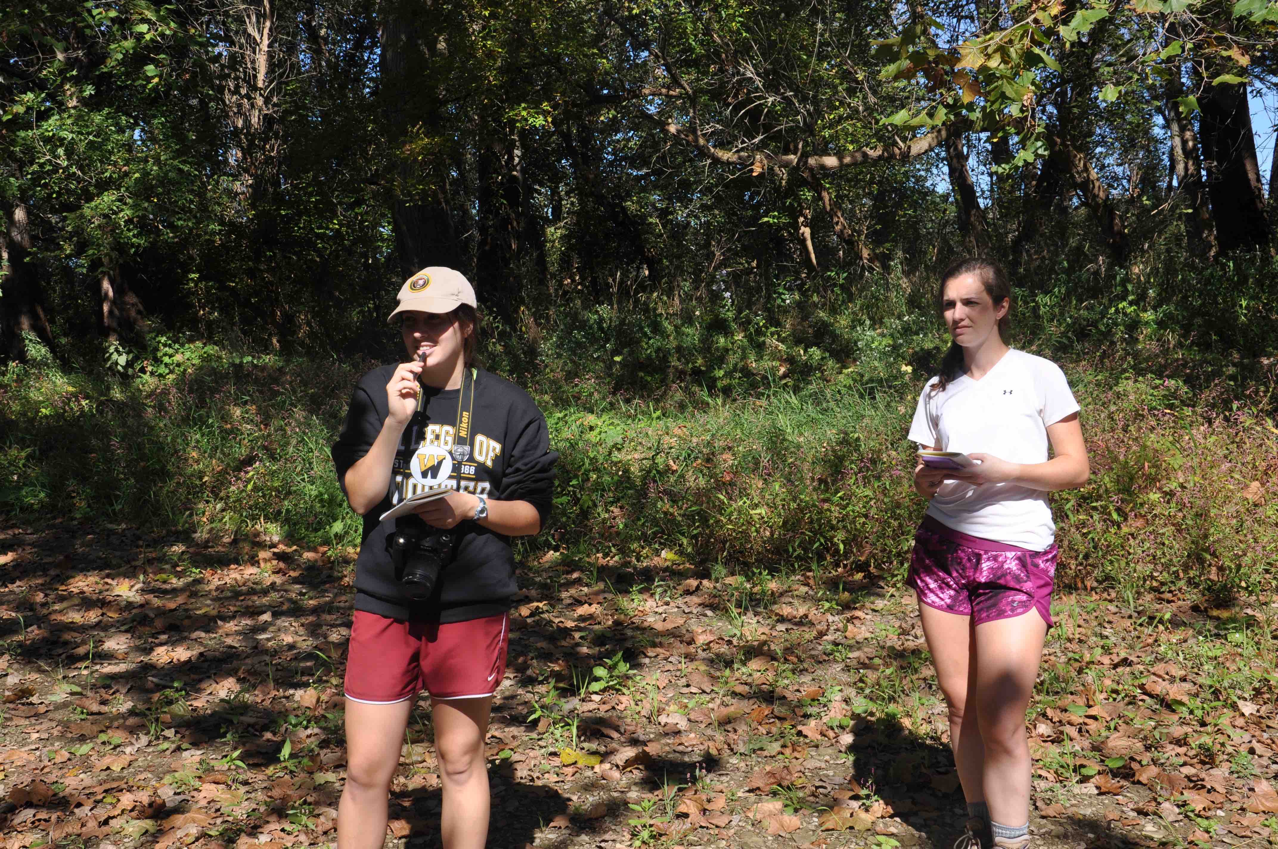
Taking notes – greatly appreciated when we return to the lab and try to make sense of what we measured.
The shallow wells were measured for relative water levels and water temperature.
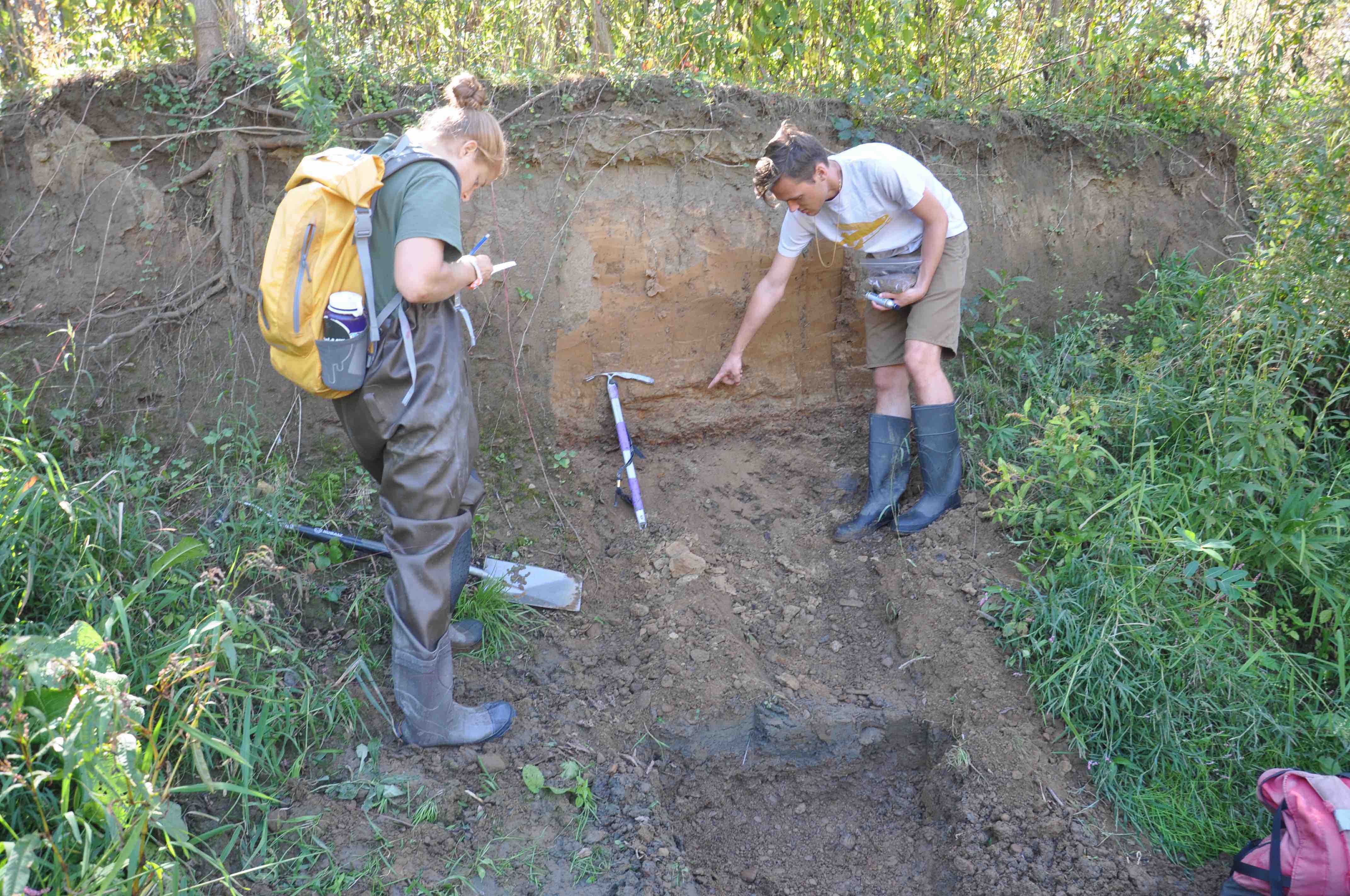
A surprise the team discovered – Roy takes a sample from the upper unit as Julia takes careful notes. The hypothesis is that this layer, which lies uncomformably on top of fluvial gravels, is in the class of legacy sediments, eroded soils and windblown dust empounded at the site when a mill was operating in the valley.
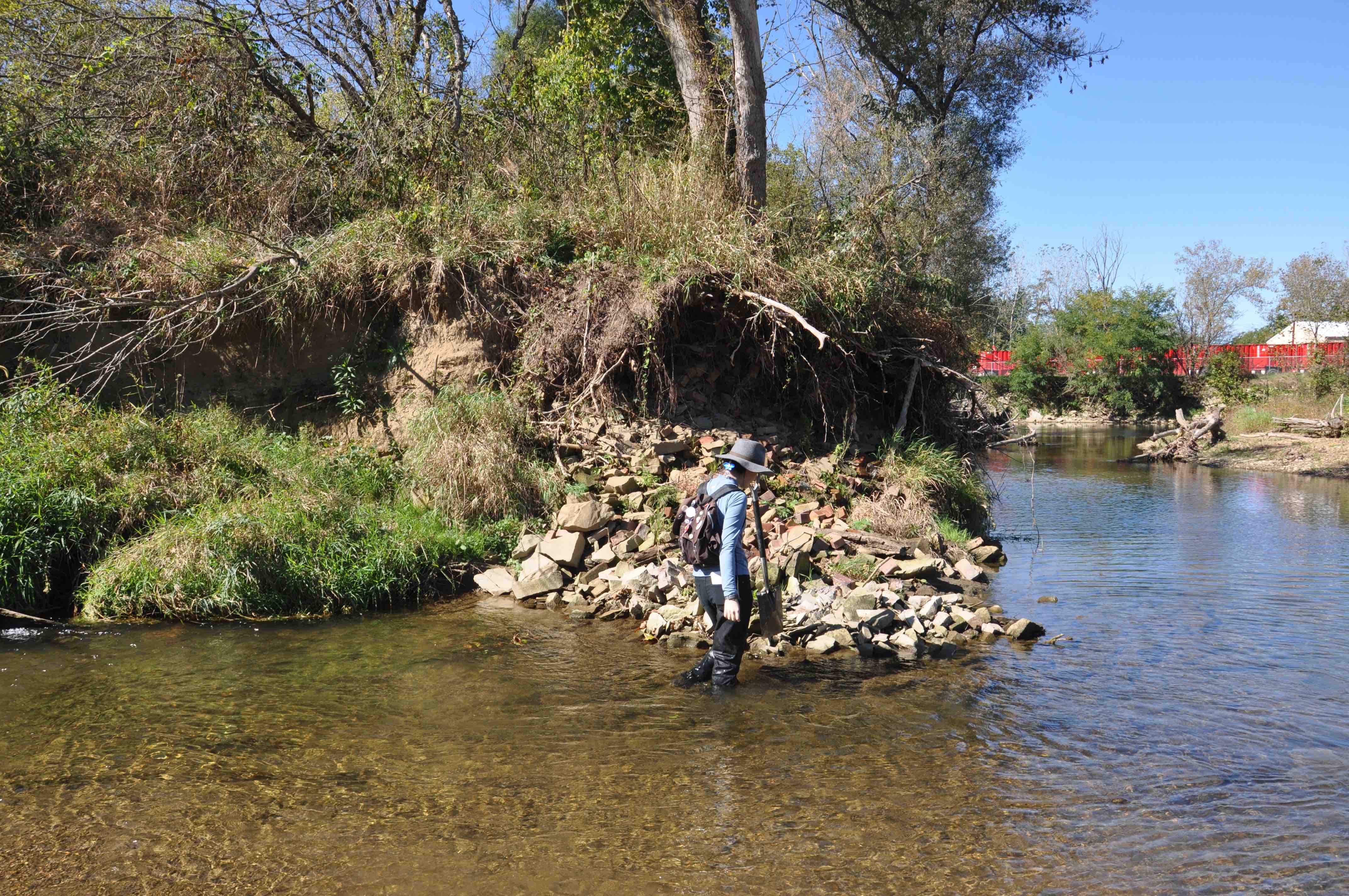
Possible Mill or dam site?

Much of the class at Zollingers Pit in Rittman – Krysden and Andrew are not present as they were excavating sediment for their project.

The group at Browns Lake.

Discussing why we install a shallow and deep well side by side.
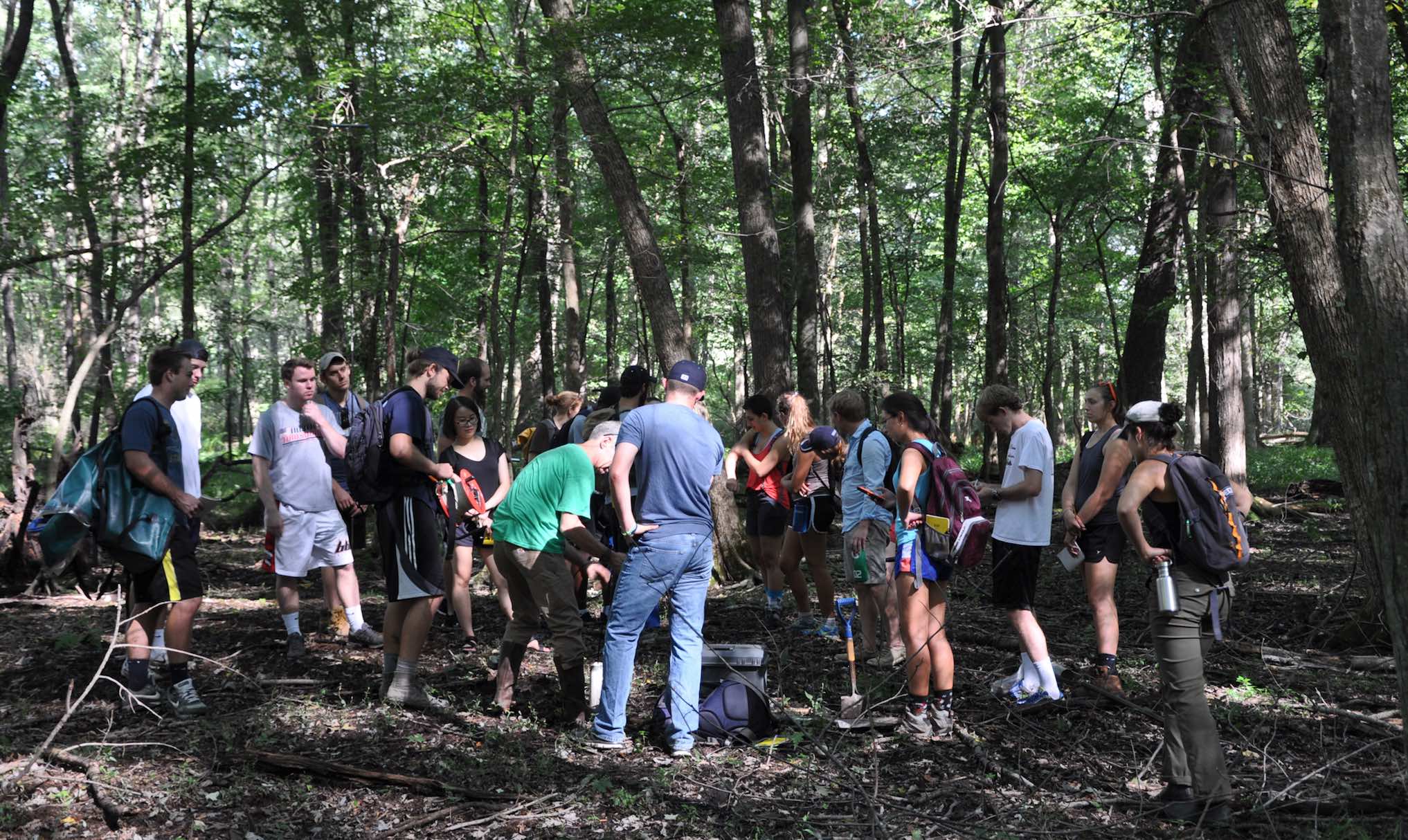
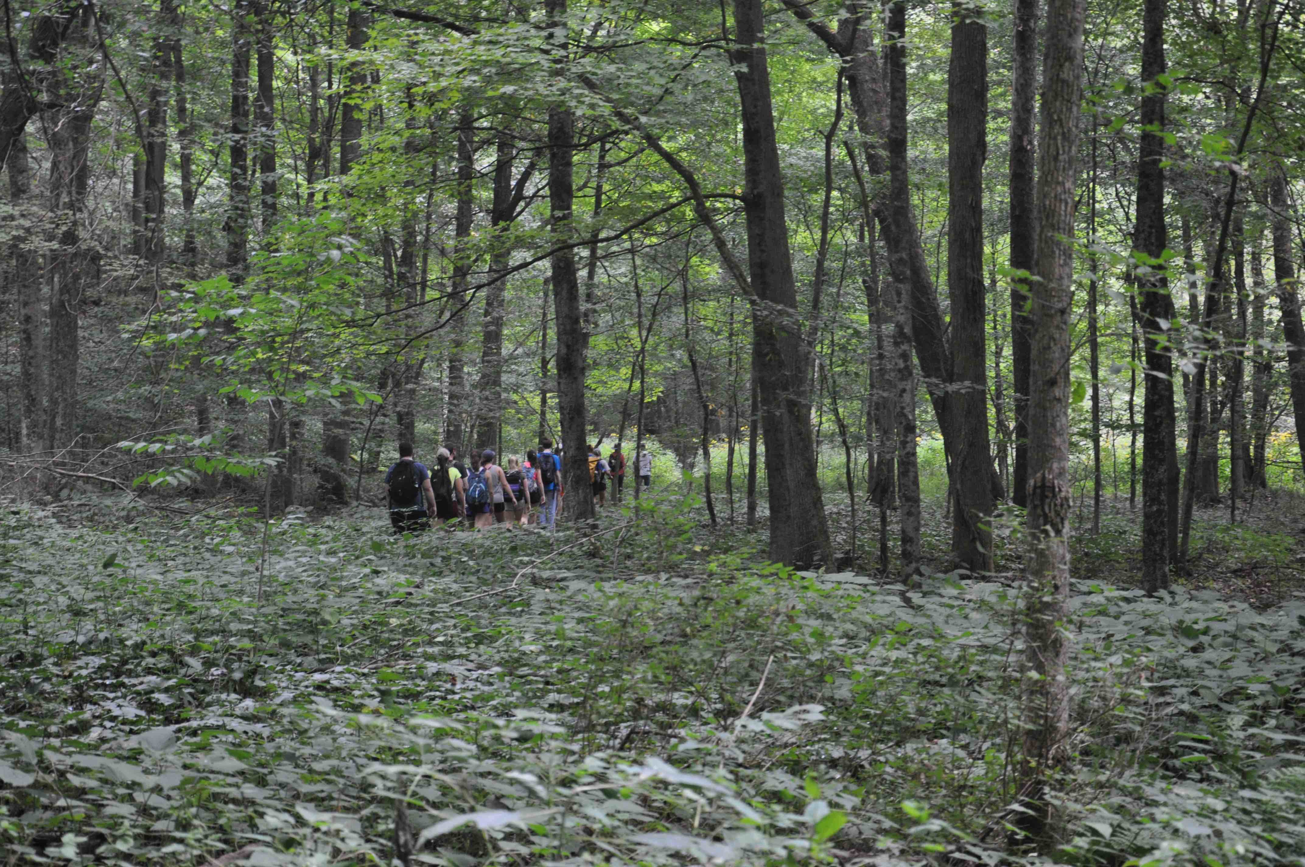
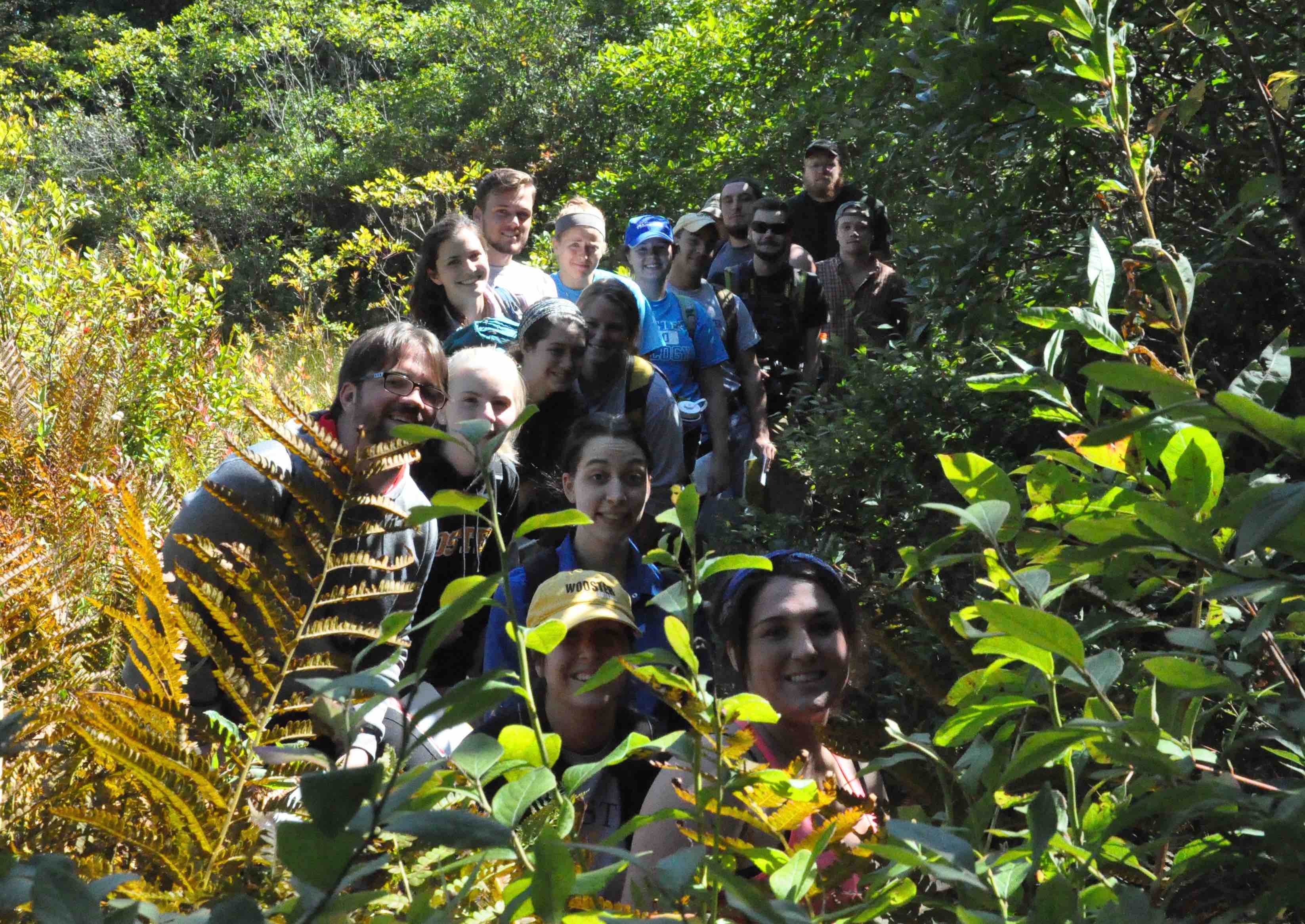
Returning to the vans after work in Wooster Memorial Park (aka Spangler).

A bald eagle circled overhead at the Apple Creek site.
Discussing the subsurface flow in a sand and gravel Kame at Browns Lake Bog.
Class meets in Scovel 116 MWF, Lab will meet in various classrooms and labs.
Initially we will be visiting local field sites in lab (this coming Monday).
Below are some scenes of last year’s class.
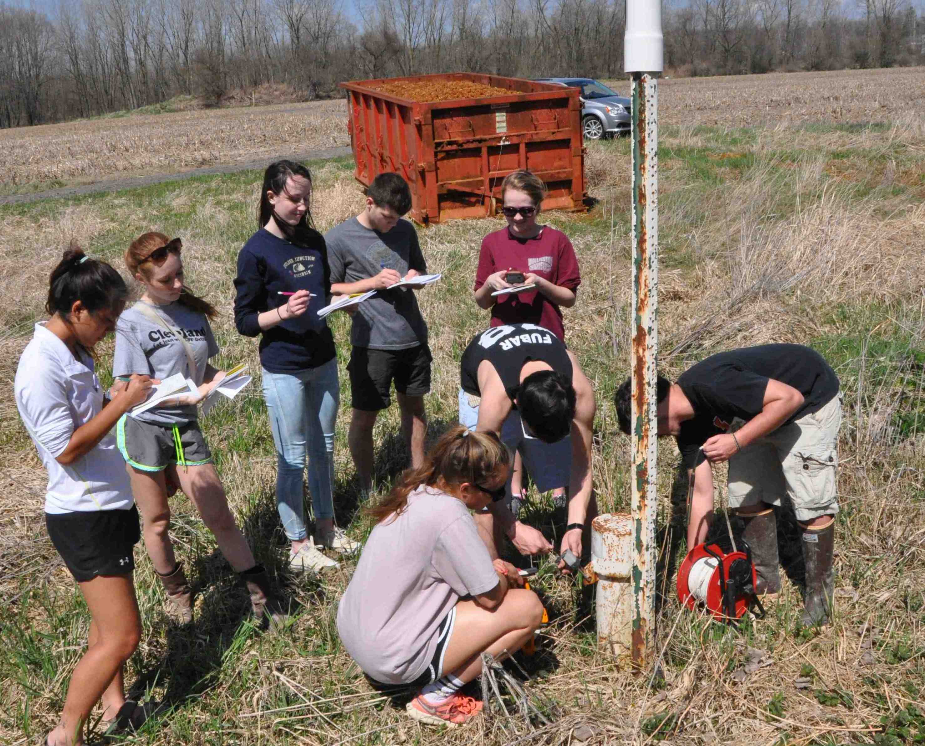
 Surveying the monitoring well elevations.
Many thanks to The City of Wooster for allowing us access to the South Wellfield. The map of water levels and contouring exercise is due Monday. On Monday (20 April) we will be traveling to Rittman to describe a glacial sedimentary sequence.
 Measuring the static water levels.

The group at Fern Valley. Gaging Wilkin Run and measuring water levels in wells.
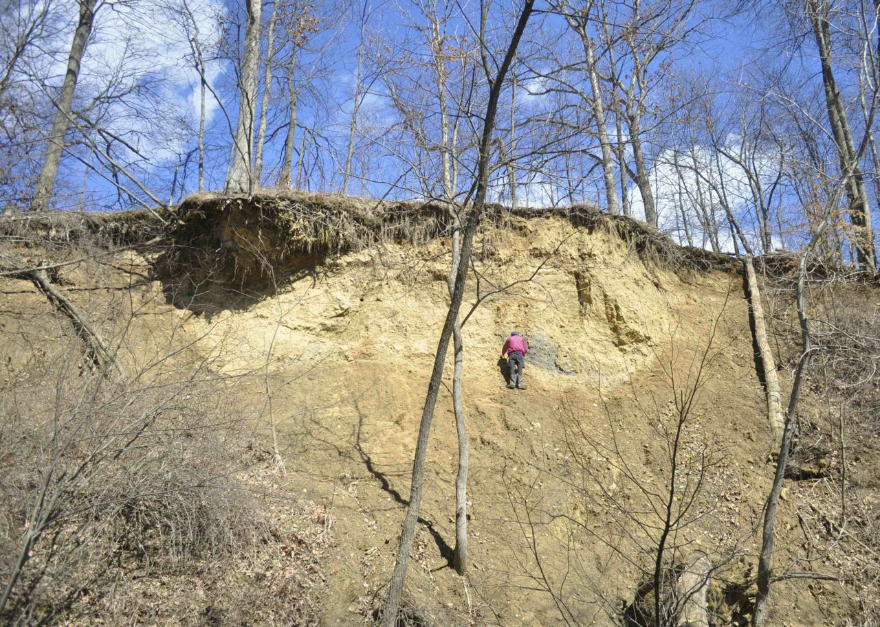
Leo examining the Ice Contact stratified drift of the terminal moraine that in part lies across Fern Valley. This deposit records the Laurentide’s ice sheet advance into the proglacial Odell Lake (note the gray lacustrine clays and silts to Leo’s left). The exposure is capped with loess – the parent material of the soils here.

The Well installed in the middle of the Run indicates whether the stream is gaining or losing.

Describing the stratigraphy along the Little Killbuck Valley – this is a delta – topsets (note the channel fills at the top) and foresets (muddy foresets because the local bedrock is weathered shale and there was some rain falling) – the bottomsets are shown below.
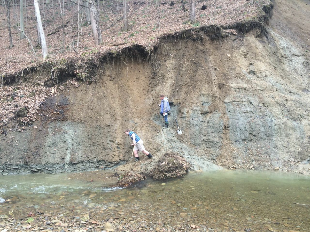
The bottomset beds – gray silts to the right. The modern mudflow fan Jim inavigates on his way to the colluvium that lies above the bedrock contact.
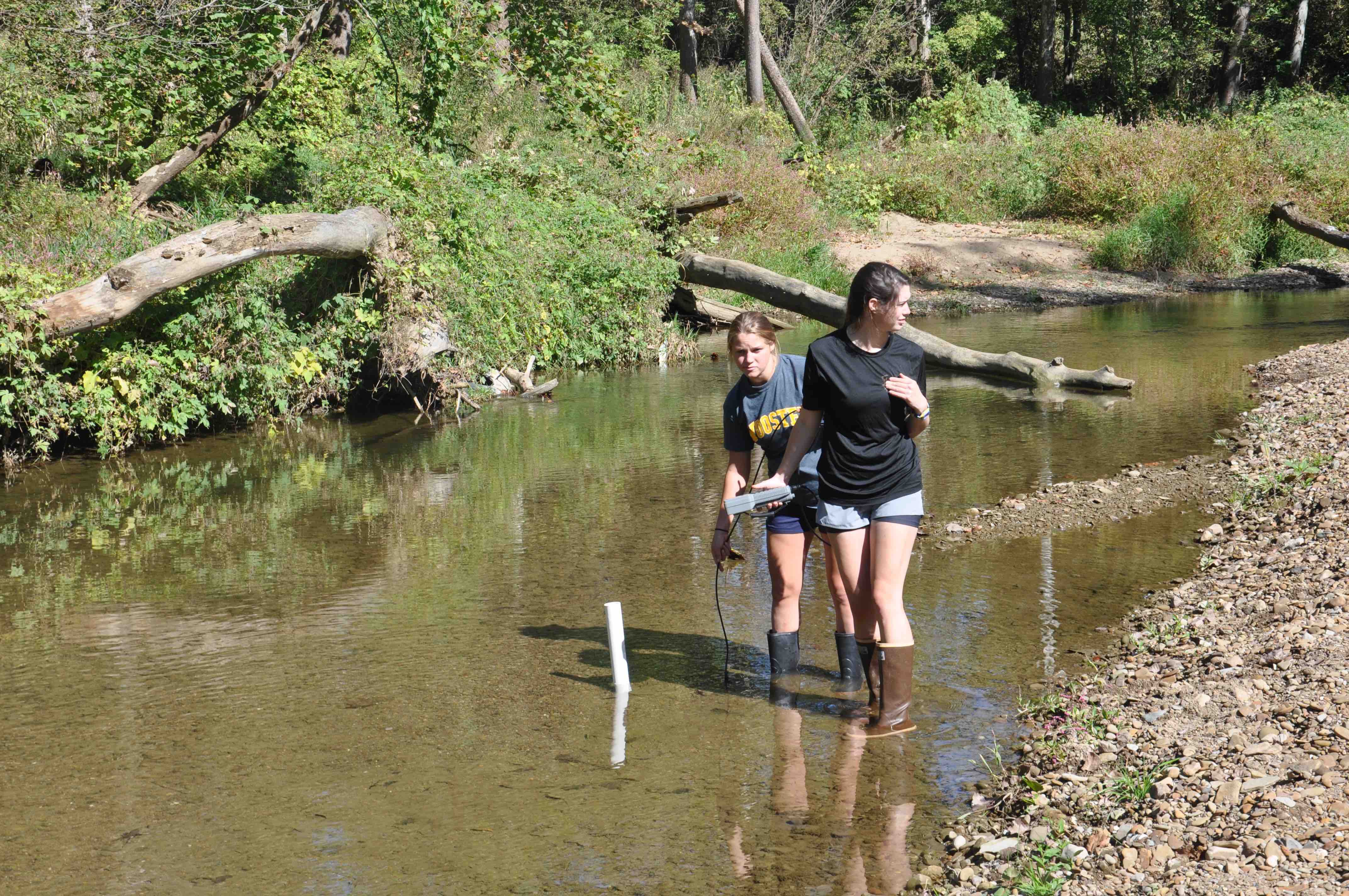
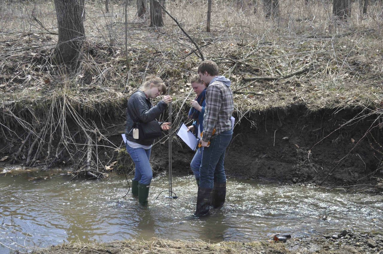 The Archaeology team measures the velocity profile at Fern Valley.
Monday we will be working in the Wooster Wellfield. This is a buried valley once again and we will be constructing a potentiometric map from water levels. This is a confined aquifer and is remarkable as it yields over 5 million gallons of water each day. However, there are several challenges that the community faces in terms of water quality.